Thistle

Tuesday 30 June 2015

Evans Peak


Steep and ugly.  There is no other way to describe this trail.  At an average incline of 23.7% over 4 kilometers you are guaranteed a workout.  Rarely does one see a view which makes the trek almost bearable.


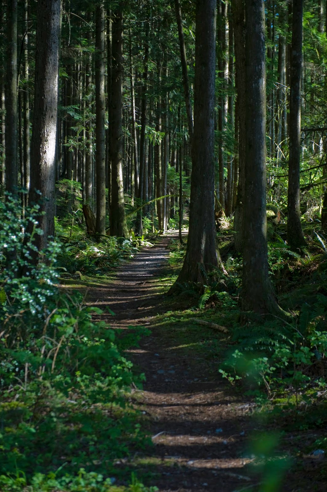
 Even tho this trail is almost completely in the shade due to the forest the trail in summer is dusty which creates poor footing in parts of the trail.  This is also the shortcut trail to Allouette Mountain.  Approximately at the 900 meter mark the trail "Y's" with the right trail going to Evans and the left to Allouette.  As one nears the peak there is a section where a rope is used to help you climb.  Without a doubt this is a challenge when one hikes with a dog.  You will need to lift him up and then catch him on a jump on the way down. This trail will cover 4 kilometers with an elevation gain of 950 meters.


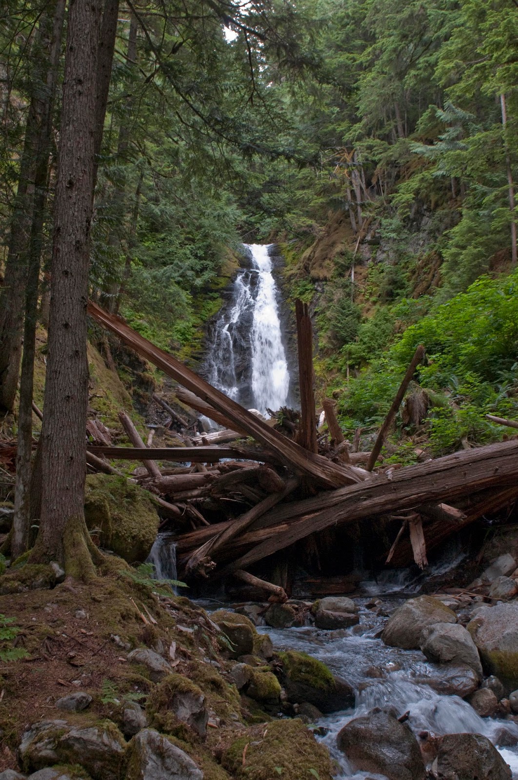
Despite my negative comments about this trail, the views from the peak does put it on the list of those to do once.


To find this trail drive to Golden Ears Park near Maple Ridge BC.  When in the park look for the West Canyon Trail.  This is the same trail used to access the Golden Ears and Alder Flats.  After about 10 minutes on this trail there will be a trail going off to the left (View Point Trail).  After about 30 minutes look for the sign for Evans Peak on your right.

Sunday 28 June 2015

Eaton Lake

On a hot day this is one trail which helps one escape the heat.  Although the trail is steep (23%) since most of the trail is shaded and follows a cascading creek it does remain cool.  In two places the trail uses log bridges to cross over the creek.  Along the trail there are enough waterfalls to keep the waterfallologists enthused.
When one reaches closer to the lake the endless climb eases as one walks immediately beside the creek.  Shortly after this one reaches Eaton Lake.  Keep in mind that this has been a 925 meter climb over 4.2 kilometers.  On hot days the lake provides a great cool down.
For those so inclined the lake provides opportunities to try some fly fishing.  Numerous trout in the range from 6 to 12 inches were seen surfacing.


To find this trail drive on the Highway #1 (Trans-Canada Highway) towards Hope taking exit #168. Follow this road to a flashing amber light and turn right on to Silver Skagit Road. Zero your odometer and head south on this road. At the "Y" take the left and follow signs for Ross Lake.
Shortly after the 16 km point turn left on to a side road marked with a sign for the Eaton Lake Trail. Follow the road a short distance to the campsite area. Do not park in any of the campsites.

Sunday 19 April 2015

Arduum Guns and Rotors/Mastadon

If you want a work out this is it.  Going up the Arduum Guns and Rotors trail takes you straight up Red Mountain.  You climb 350 meters in just over 1 kilometer....and keep in mind that there are some flat sections.  This is steep. It would be worth waiting to witness a bike rider go flying over this 25 foot drop.

This entire trail is in the forest so it would be a good choice on hot summer days.  When one reaches the top take a right turn and the trail turns into the Mastodon trail.  Although this trail is much longer, 3.6 kilometers, taking this trail down is much easier on the knees. Another bonus is that most of this trail is simply just a really beautiful trail.
Early in Spring this trail has numerous Trilliums in bloom.
To get to this trail in Mission BC drive north on Dewdney Trunk Road past the small lake at the base of Bear Mountain, past the Mission Gun Club and turn right onto the next turnout on the west side of the road.  Walk past the closed gate up the logging road keeping to the left.  Soon the trail head sign post will be evident on your left. On the return you rejoin this logging road just 100 meters further up the road.

Sunday 12 October 2014

Mt Slesse

On December 9, 1956 Trans-Canada Airlines Flight 810 crashed into the mountain while on it's way to Calgary killing all 62 aboard.  This was one of the worst air traffic tragedies to that time.  Because of the remote area where the plane crashed, and the difficult terrain, the wreckage was not found until the following May.  On board the plane were 5 professional football players returning home from the East-West All-star game in Vancouver.  The remains are in a difficult to access area and are protected by government designation.

Mt Slesse as seen from the Memorial site


The first 15-30 minutes of this hike are completely enjoyable.  When one leaves the logging road one drops slightly down to where Slesse Creek cuts through the valley.  Crossing the creek is by climbing over a fallen tree which has fallen conveniently so it can be used as a bridge.  After the crossing one follows the tree through rain forest like conditions which gives arise to an abundance of mushrooms in late summer and early fall.However, one soon reaches the ridge where the trail begins to follow an over grown logging road.  From this point until one reaches the Memorial site the trek is simply "boring."  There are few views other than small trees one keeps hit in the face as your companion in front walks through.

Slesse Creek

Buddy crossing Slesse Creek


At a leisurely pace one reaches the Memorial site within 2 hours.  The view of Mt Slesse leaves one in awe.


After a short break one again returns to the logging road.  This is follow until it is left and the trail is actually a trail as it climbs the ridge to the east of the Memorial site.  Within a short time the open meadows below the Propeller Cairn are reached.  In July through September the area is in bloom with many wild flowers.  After the last push one reaches the plateau and the Cairn.


To find the trail head drive up Chilliwack Lake Road for 31 km and right after the Riverside Forest Service Recreation area turn right. Cross over the Chilliwack River and in 400 meters turn right onto Nesakwatch Creek Road. Drive 6.4 kms and you will see the flagging, and maybe a sign, on the right.  Park beside the road.

For more photographs visit:  Mt Slesse photos


Williams Ridge

So you want tough??  Are you sure?  This makes the Grouse Grind appear like a Sunday afternoon stroll.  This hike is so tough that:  1.  When you trip and fall, while hiking up, the fall is actually only 1 foot;  2.  You look up to find the horizon and it is at 80 degrees above you; 3.  You struggle on what you think is a flat stretch only to look back and realize that it is at least a 25% grade; 4.  Your faithful companion Buddy, who usually runs 50 yards ahead and sits and waits for you to catch up, has fallen asleep by the time you get there.  Do you get the idea?  This is steep.....you gain over 1400 meters in about 2 kilometers.  You will probably have some choice words to say as you work your way back down...it is brutal on the knees.

When one reaches the ridge the views are spectacular.  From the ridge you can continue on to Williams Peak itself.


The start of this trail is, well, disappointing.  You need to work your way through a clear cut to the bottom of the ridge.  When you reach the tree line you go straight up....you do not ease into this trek.  And it does not let up until you near the ridge. About 3/4 of the way up you cross an area where streams run just under the surface with the occasional opening and visible stream.  However, if you are on your way back to the parking lot a clear cut never looked so good.


To find this trail travel east on the Chilliwack River Road for 34 kilometers.  Just past the closed (300 meters) you will see the sign post for the trail on your left (north).  Drive up the lane for about 100 meters and park.  Follow this lane to a "T" and walk to the right.  You will see a faint trail to your right within 40 meters and the path through the clear cut.

Flora Lake trail

This trail is part of a loop which will cover 20 kilometers with an elevation gain of 1345 meters.  If you wish a slightly shorter day you can stop at the ridge and turn north and climb Flora Peak and its 1952 meters.  The first half of the trail to the ridge is in heavy forest with many switchbacks on the trail.  When one breaks into the open the views are to the mountains across the valley.  Shortly after this you enter the meadows near the peak.


Trail near the ridge

View back down the trail across the valley

View up the trail in the meadows

Panorama from near the ridge

This trail is a challenge for those who are not in shape.  Be prepared to be on the trail for up to 10 hours if you are doing the loop. 

To find this trail drive 40 kilometers east on Chilliwack River Road to the gates of Chilliwack Lake Park.  There is now a large off road parking area at the trail head. 

For more photographs visit http://www.motioninsports.com/HiddenGemsBC/Flora-Lake-Trail

Mt St Benidict

Mt St Benidict rises from the east side of Stave Lake and provides views to the west back to Mount Crickmer.  The first 20 minutes of this hike are absolutely gorgeous as the trail winds up through old growth mossy forest.  One exists this forest into the scene for which Mission BC is becoming famous.....the clear cut. Another logging operation completed without any regard for the recreation activities around.

   One continues along this new clear cut until the trail (?) veers off onto an older logging road.  It is along this road that one encounters a waterfall.
Once past this waterfall the road deteriorates into boulder climbing as one experiences an example of what happens when a logging road is not decommissioned properly.  The road becomes a new stream bed and all fine material are washed away leaving just the boulders.  One continues on this road until the trail veers off into new growth forest in which one can find remnants of previous logging operations.  One shortly reaches a small lake below the peak.  From here it is a short hike up the ridge to Mt St Benidict.
To reach the trail head drive east on the Lougheed Highway past Mission.  Turn left on Sylvester Road staying the course as it changes into a gravel road.  Follow for 18.5 kilometers until Murdo Creek is crossed.  There is a lot of parking on the north west side of the bridge.  To find the trail walk back across the bridge and the trail can be seen on the left.